Baltimore-area aerial imaging
Your property deserves a better point of view.
Professional drone photography for real estate listings, construction progress and commercial properties across the Baltimore region.
FAA Part 107 Certified • Remote ID compliant • Airspace authorization handled when required

Services
Aerial imaging built around the property.
Straightforward service, professional flight operations and images designed to show location, scale and context.
Real Estate
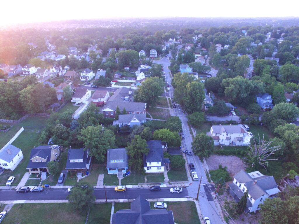
Listing-ready aerial photography that helps buyers understand the home, lot, neighborhood and nearby amenities at a glance.
- Elevated hero angles
- Front and rear perspectives
- Lot and neighborhood context
- MLS-ready edited files
Construction Progress
Repeatable aerial documentation from consistent viewpoints so contractors, owners and stakeholders can see progress over time.
- One-time or recurring visits
- Consistent flight viewpoints
- Organized image delivery
- Monthly packages available
Commercial
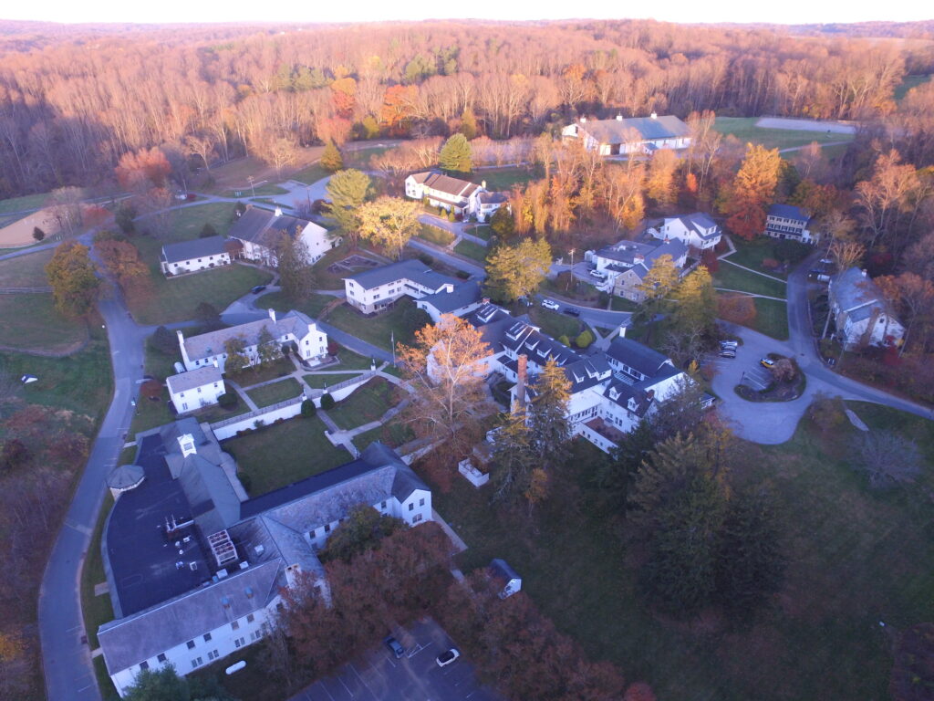
Aerial imagery for property managers, businesses, institutions, venues, developers and commercial real-estate professionals.
- Property marketing
- Exterior documentation
- Large-site overviews
- Custom project quotes
Simple starting prices
Real-estate aerial packages
Aerial Essential
$149
10 professionally edited aerial photographs.
Most popular
Aerial Listing
$199
20 professionally edited aerial photographs with broader property and neighborhood coverage.
Commercial / Construction
From $199
Project-specific pricing for commercial sites and recurring construction-progress documentation.
Final pricing may vary for travel, complex airspace, large properties, special deliverables or unusual project requirements.
Portfolio
Aerial work coming soon.
We are currently building our Baltimore-area portfolio. This section is ready for your strongest real-estate, property and construction images as you create them.
About Chesapeake Sky Imaging
Professional flight operations. Straightforward service.
Chesapeake Sky Imaging provides aerial photography and property imaging throughout the Baltimore region. Every flight is planned around safety, legal airspace operation and the images your project actually needs.
Owned and operated by David Sugar, an FAA Part 107 Certified Remote Pilot.
Why work with us?
- FAA Part 107 certified pilot
- Remote ID compliant operations
- Airspace authorization handled when required
- Clear deliverables and straightforward pricing
- Baltimore-area local service
Ready to put your property in perspective?
Tell us where the property is, what you need photographed and when you need it.
Before publishing: replace the placeholder email above with your actual business email and add your preferred contact form.